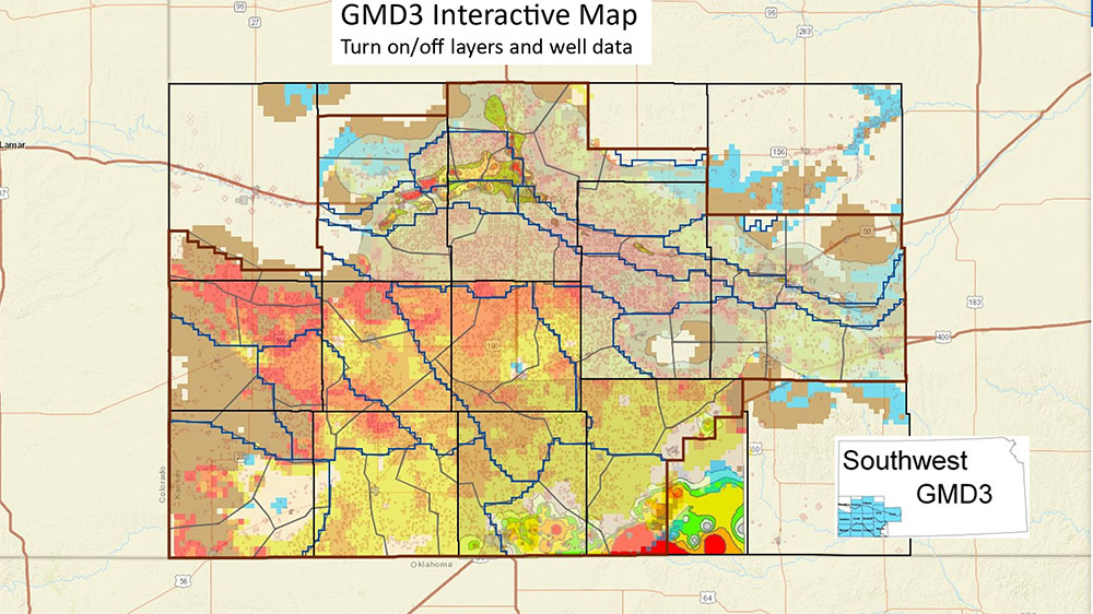
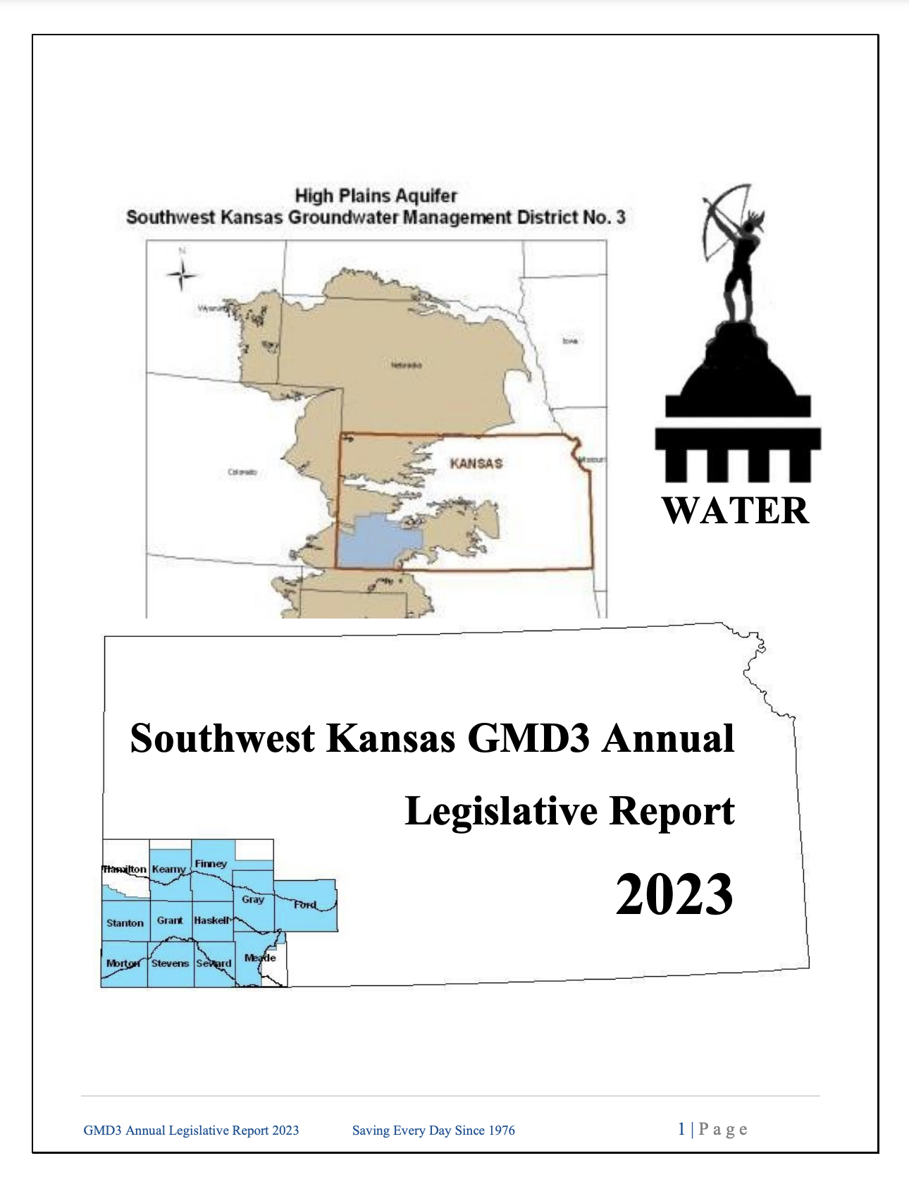
GMD3 WILL BE MOVING TO A NEW BUILDING JULY 13 & 14.
THE NEW ADDRESS WILL BE:
2009 E SPRUCE STREET

Southwest Kansas Groundwater Management District No.3

Welcome:

The links above and below provide you access to information about the District, its operation and programs, and about water-related issues.  Please feel free to contact us to make suggestions or ask questions.  Thanks for visiting our website!  

Information:
        Proposed Kansas Water Plan Update  NEW
         Cimarron and Upper Arkansas River Basins (click on table of contents)

         Voluntary Rain & Snow Reporting  CoCoRaHS) NEW
        
Voluntary Water Level Measurements (KGS) NEW
        
Water Right Information
         W
ater Well Levels
        
Geology- Drillers Log Information
        
Kansas Legislature Website
        
2005 Groundwater Quality Survey Project 
        
Revised Bedrock Map
        
Current Management Program (June 9, 2004)
        
Old Management Program (August 2, 1991)
        
Water Right Transition Assistance
        
Newsletters
        
Water Issues
        
Board of Directors
        
Board Meetings   
        
Board Agenda
        
Calendar
        
Economics
        
Data
        
Library (External Link)
        
Formulas
        
Rules
        
Abandoned Wells
         Upper Arkansas River Conservation Projects Initiative
         Western Kansas
Weather Modification Program
Water Organizations Links:         

Southwest Kansas Groundwater Management District No. 3


                                              Site last updated 06/23/09

Intervention


Upcoming Meetings!


Wednesday
July 8, 2009
Regular Board Meeting
9:00 AM
Budget Hearing
10:00 AM
409 Campus Dr, Suite 108
Garden City, KS

GMD3 Staff

   UPCOMING MEETINGS


WATER CONSERVATION
PROJECT FUND ADVISORY
COMMITTEE


Wednesday, May 6, 9:00 AM

MAIN TOPICS OF DISCUSSION

 Bureau of Reclamation
 Water 2025 Grant Applications
 Projects Update
 Financial Review


SW KS GMD3 Office
409 Campus Dr. ,Suite 108
Garden City, KS


SPECIAL ISSUES


IRS Tax Deduction for Depletion on Groundwater Used for Irrigation

NEW  CREP UPDATE 9-15-08

Sign-Up Through June 30, 2009

BROCHURE

CREP News
From KWO

  DISTRICTS MAPS

Map 1

     Upper Arkansas River Valley
   Proposed Kansas CREP Area
(
Conservation Reserve Enhancement Program)


 Map 2
 
Soil Classification for Dryland Agriculture
  Poor Soils Within Crop Area Is
     Proposed by GMD3

    Map 3

Saturated Thickness
High Plains Aquifer
Primary Water Supply

Map 4

Depth to Water
High Plains Aquifer

Map 5
Kansas Water Plan Priority Areas
High Plains Aquifer

Map 6 Series

Maps of Saturated Thickness (2003-2005), Change in Water Table (2000-2005) and Estimated Usable Lifetime of the High Plains Aquifer in Kansas.

Map 7

Dakota Aquifer
Confined and Unconfined
(K.A.R. 5-23-3a)

Map 8

Estimated Usable Lifetime for
the High Plains Aquifer in Kansas
Click here for full report

   
© 2007 Casey Designs - Hosting and Development, LLC. | Homepage